TEC maps over Europe
Istituto Nazionale di Geofisica e Vulcanologia (INGV)
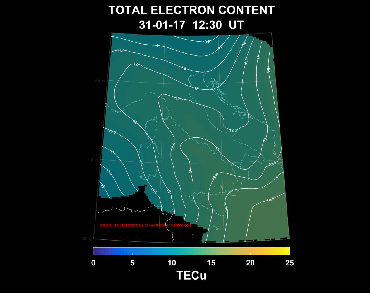
Data from GNSS receivers in the European region are used to generate Total Electron Content (TEC) maps with very fine spatial resolution (0.1°x0.1°, lat x long) (??????). These maps will be useful to support ionospheric error mitigation in precise positioning and to study the ionosphere morphology and dynamics during strong solar and geomagnetic storms affecting the mid-latitude ionosphere.
This page reports the TEC maps generated over the European region in real-time every 10 minutes (??????)